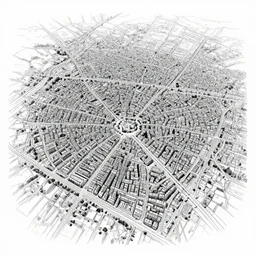
city map aerial view roman city pen and ink illustration
city map aerial view roman city pen and ink illustration
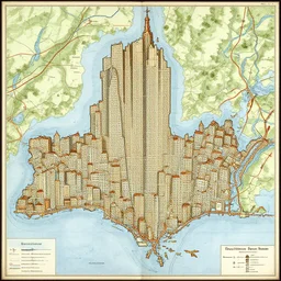
a medieval map of new york city

top down view of a medieval city
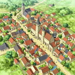
aerial view of a medieval village, anime drawing

aerial view of a floating city that looks like a brain

a city of 🍆

a bird's - eye view of the orderly ancient chinese cities, majestic towers and neat houses, low house, movie screen, city planning map, gray planning map of the forbidden city, front, left - right symmetry, front view, extremely symmetrical.
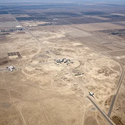
aerial view of area 51

london, aerial perspective

city aerial view, tetris

hong kong city flooded, aerial view, associated press, high quality
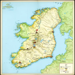
medieval map of ireland
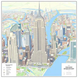
map of new york city
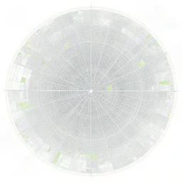
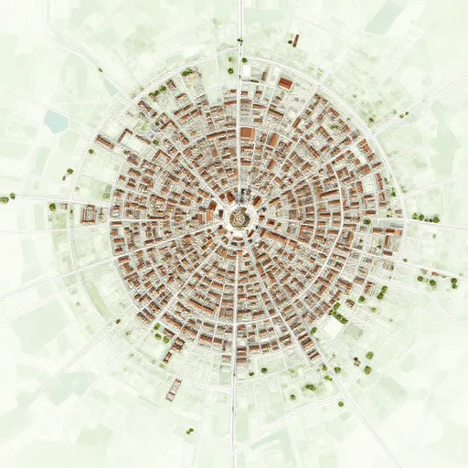
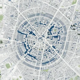
map of a city. concentric rings. extremely detailed.

imax aerial view of coast
City map, top down

burning village, aerial view, dark ages, medieval, fantasy, dnd, realistic, artstation

street view of a city in 2000

Shanghai city view from the sky

airplane window view, aerial imagery, huge fire, very detailed, trending on artstation

view of downtown new york as a medieval city, digital art, highly detailed, intricate, beautiful, concept art, medieval, trending on artstation

city landscape
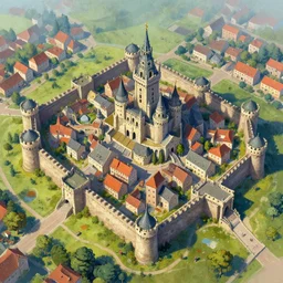
a digital painting of a walled city, vibrant colors, ultra detailed, medieval, fantasy, drone photo, aerial view
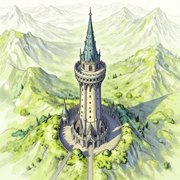
aerial view centered on a wizard tower that's surrounded by mountains, lineart, colored