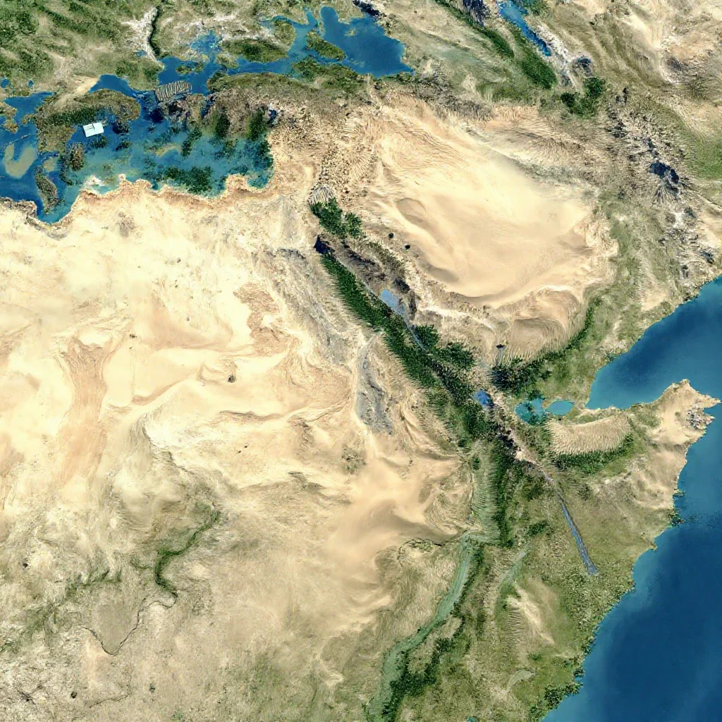
satellite map, desert, forest, mountains, art by moebius and thomas kinkade

satellite map, desert, forest, mountains, art by moebius and thomas kinkade
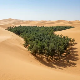
desert turning into a forest
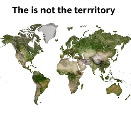
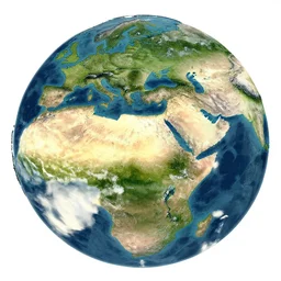
the map is not the territory, in the style of a map that is made of actual satellite imagery
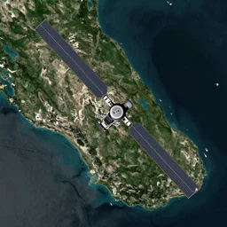
satellite map

🐋 as 🐘 as 🤖 as 👽 as 🐳, desert, national geographic,
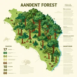
infographic map of the ancient forest
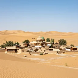
a desert village

Women in red near a lake in a forest between mountains
map of middle earth satellite image
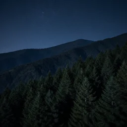
atmospheric photo of the forest in the mountains, night sky
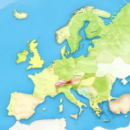
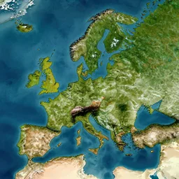
country map
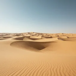
A landscape of a futuristic desert
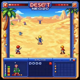
neo geo desert game
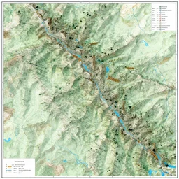
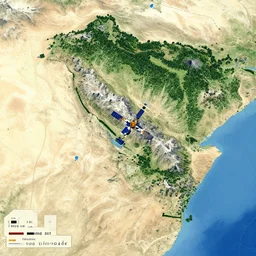
topographical map of a mountain range
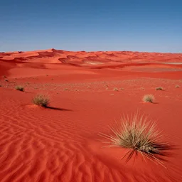
red alien desert landscape
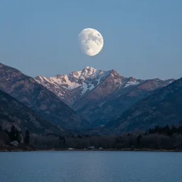
moon landscape mountains lake
aerial satellite map of a continent with deserts, forests, mountains, drawing by moebius and thomas kinkade

🐋 as 🐘 as 🤖 as 👽 as 🐳, desert, geographic,
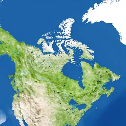
a satellite map of canada
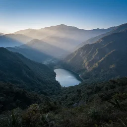
landscape photography by marc adamus, mountains with some forests, really small lake in the center of the mountains, fog in the background, sunrays, blue hour, high quality
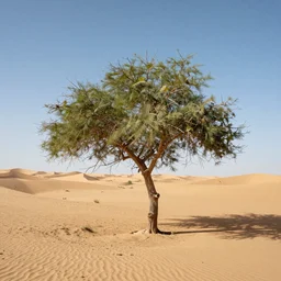
Tree in desert
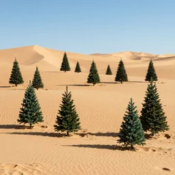
many christmas trees in desert
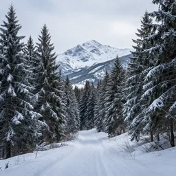
A winter landscape of a forest with mountains in the background
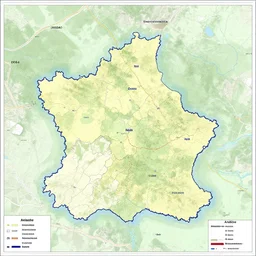
map of Ardèche