that time when
Semantic-matched gallery for Longitude. Every image is generated with CuteDSL Z-Image Turbo — fused kernels, 2× faster on RTX 5090.
that time when
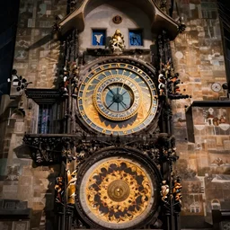
ornate Astronomical Clock
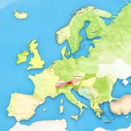
country map

toad, error, tribal, shape of frogs, artwork, abstract, acrylic, oil, clay, line work, mixed, stipples, glitch, pixels, geometry, data, datamosh, data, motherboard, minimal, computers, binary, code, c + +, cybernetic, splotches, painting, dark, eerie, cyber, latitude and longitude

toad, error, tribal, shape of frogs, artwork, abstract, acrylic, oil, clay, line work, mixed, stipples, glitch, pixels, geometry, data, datamosh, data, cybernetic, splotches, painting, dark, eerie, cyber, latitude and longitude

The most accurate world map projection

accurate world map

toad, error, tribal, shape of frogs, artwork, abstract, acrylic, oil, clay, line work, mixed, stipples, glitch, pixels, geometry, data, datamosh, data, motherboard, minimal, computers, binary, code, cybernetic, splotches, painting, dark, eerie, cyber, latitude and longitude

toad, error, tribal, shape of frogs, artwork, abstract, acrylic, oil, clay, line work, mixed, stipples, glitch, datamosh, data, cybernetic, splotches, painting, dark, eerie, cyber, latitude and longitude

mysterious european nautical map

Blood Meridian

political compass
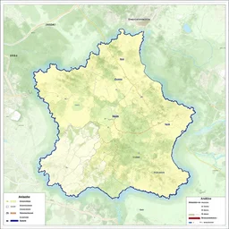
map of Ardèche

the clock stop when you reach the end of time, surreal, transcendent plan of existence

ornate Astronomical Clock,by kieed,trending on pixiv
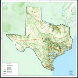
topographic map of texas interstates. copyright rand

current location

shape of toads, error, tribal, camo made of frogs, minimal, abstract, acrylic, oil, clay, line work, mixed, stipples, glitch, datamosh, data, cybernetic, splotches, painting, dark, eerie, cyber, latitude and longitude

map of nordic countries

gps navigator with electronic components as buildings
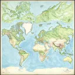
detailed map of another world

the beginning of time

minecraft secret base coordinates
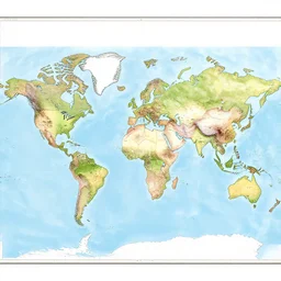
map of the world

papua new guinea, national geographic, vibrant colors, cinemascope, nature

app logo of a [ clock ]!
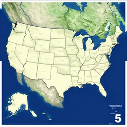
a map of the usa without the state of florida.
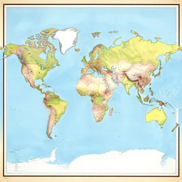
the map of the world

map of sweden

the first time
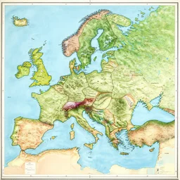
a detailed map of the world,
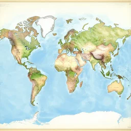
world map very detailed

detailed map

a night time bedroom

a photo of the map of the USA made from sushi, recipe, map, accurate, 8k, high detail,

sweden map

a map of north america with labels, intricate, 4 k

flexible image transport system astronomical

Synchronization of the left hemisphere with the right hemisphere of the universal brain 8k intricate level of detailed information
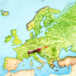
map of sweden, real

La Rosalía
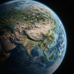
map of a planet

Time at the beginning
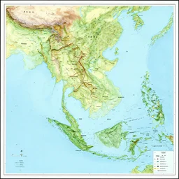
map of mainland southeast asia, zoom in burma thailand laos cambodia and vietnam, 1 7 th century, high accuracy, based on geographical map,

it's about time
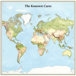
map of the known world

ancient civilizations tomb, new world discovery, ink sketch by spainish explorer
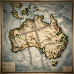
cartography map of australia. 1400s old sea map. faraway islands.

clockwork mansion inspired by claude piron
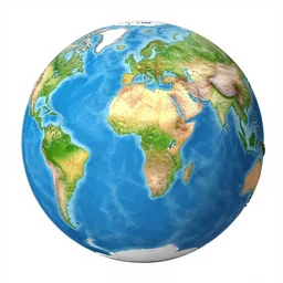
the map of the earth

alan turing, nick night, show studio polaroid by terry richardson

map of north america, detailed, infographic

toad, error, tribal, shape of frogs, artwork, abstract, acrylic, oil, clay, lines, vektroid, dots, drips, spots, tears, leaks, glitch, pixels, geometry, data, datamosh, data, motherboard, minimal, vinyl, binary, code, cybernetic, painting, dark, eerie, cyber, latitude and longitude

Political world map of Mars
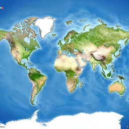
world map 2157, map

world map of a fictional planet

national geographic professional photo of geodude, award winning

solar system isometric scientifically accurate

time for sleep

papua new guinea, national geographic, vibrant colors, nature
Longitude images are generated by CuteDSL Z-Image Turbo — a fused-kernel
diffusion transformer that runs 2× faster on RTX 5090. Every image has its own SEO-friendly
detail page under /image/… with the full prompt, seed, model, and related art.
Looking for something else? Search Longitude · Browse all tags · Full gallery · Generate your own.