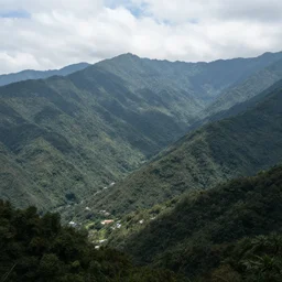
a mountain region
Semantic-matched gallery for Region. Every image is generated with CuteDSL Z-Image Turbo — fused kernels, 2× faster on RTX 5090.
a mountain region

Map of a heavenly realm including regional borders and statistics on population for each region, intricately detailed, full color
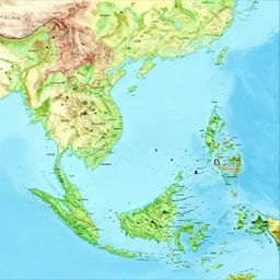
a geographical map of South East Asia

Map of a heavenly realm including regional borders made of gold and statistics for each region, intricately detailed, full color
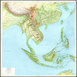
map of mainland southeast asia, 1 7 th century, high accuracy, based on geographical map,

overworld map, vintage pixel game, with cities and regions

south american city street in a valley with mountains

south american city market in a valley with mountains
montagnola by regions

fantasy RPG map with islands, forests, mountains and some tall towers and castles. Lush green continents, desert lands, and some frozen regions. Ships and sea monsters are depicted in the seas. Medieval Romanesque frescoes tapestry style.

medieval map of small town, houses and roads, Voronoi regions

medieval map of small town, Voronoi regions, houses and roads
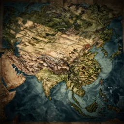
an ancient map of an imaginary continent

🐋 as 🐘 as 🤖 as 👽 as 🐳, desert, national geographic,

the map of a medieval village from above, orthographic visuals, rivers, lakes, roads, pixel game, terraria

infographic map of the east coast of united states, colored states
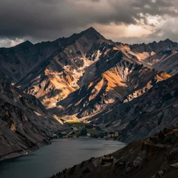
lakeside mountains, in borderlands

current location

old pirates map of the Nordic region
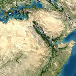
satellite map, desert, forest, mountains

map of a fictional continent with no labels

urban housing project, high rise apartment complex on a high mountain valley, lakes and snowy mountains
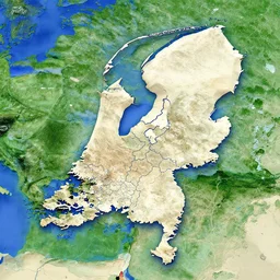
a satellite image of the Netherlands with borders

🐋 as 🐘 as 🤖 as 👽 as 🐳, desert, geographic,

the pope in borderlands

isometric view of southeast asia, high - detail, high accuracy, in style of middle earth map, lord of the ring, fantasy,

red desert valley
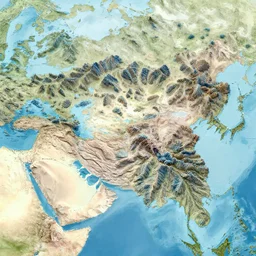
a map of a large continent divided by mountain ranges made of coral
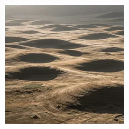
ancestral plains by disney concept artists, blunt borders, rule of thirds

farmville 3 stylized region isometric voronoi ghibli overworld, gamemap layout

underwater train, river made of cocoa milk, high quality, national geographic
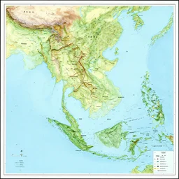
map of mainland southeast asia, zoom in burma thailand laos cambodia and vietnam, 1 7 th century, high accuracy, based on geographical map,

risk middle Europe map, future

dnd world map, mountains, villages, rivers, oceans, islands

Desert valley oasis in the style of Hudson River College, high texture and contrast

medieval map mountain ranges, rivers, lakes, cursive lettering digital illustration
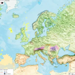
an alternative 8k world maps with alternative borders

massive urban housing project, high rise apartment complex on a high mountain valley with lakes and snowy mountains

massive urban housing project on a high mountain valley with lakes and snowy mountains

A labeled, three dimensional map of a heavenly realm including regional borders, intricately detailed, full color

collage of polaroid photograph of ( ( ( ( ( ( ( ( gyor, the most important city of northwest hungary, the capital of gyor - moson - sopron county and western transdanubia region ) ) ) ) ) ) ) ), summer, july of 1 9 7 8

suburb district

map of the great lakes

The Andes are the longest mountain range in the world. They are located in South America and extend from Venezuela to Chile

A heavily-forested valley surrounded by snow-capped mountains, nighttime, orange gas giant, red nebula, no clouds, sci-fi, photorealistic, landscape

minimalist svg map of the continent of hesperia

dnd world map, mountains, villages, rivers, oceans, islands, unlabeled

Borderlands 2 gameplay of a mountain collapse
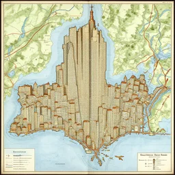
a medieval map of new york city

barbecue by disney concept artists, blunt borders, rule of thirds

map of eastern canada

map of france conquered by spain

heart - shaped tire boundaries along the african continent

the most modern apple store

the map is not the territory, in the style of a cia map

medieval style map of the world with a continent inhabited by frog people, mappa mundo

Galaxy arch, snowy mountains and lakes, in the style of National Geographic magazine
climate change

map of a dragon shaped continent

collage of polaroid photographs of ( ( ( ( ( ( ( ( gyor, the most important city of northwest hungary, the capital of gyor - moson - sopron county and western transdanubia region ) ) ) ) ) ) ) ), summer, july of 1 9 7 8
Region images are generated by CuteDSL Z-Image Turbo — a fused-kernel
diffusion transformer that runs 2× faster on RTX 5090. Every image has its own SEO-friendly
detail page under /image/… with the full prompt, seed, model, and related art.
Looking for something else? Search Region · Browse all tags · Full gallery · Generate your own.